 GAMESLASH
London Overgrown: Claude builds procedural London from OpenStreetMap, bots test every story path
By GameSlash
A November 18 devlog shows how a solo creator directed Claude to build a playable London from map tiles, then audited reachability, quests and activity gaps.
On November 18, 2026, solo developer dg posted a five-day production breakdown of London Overgrown, a browser-playable pixel-art cycling RPG set in an overgrown post-apocalyptic London. The game was first published November 16 for Jamference #4 (November 13–20); the new development log explains how Claude built the code while a human designed, directed and playtested the world. This report focuses on the newly shared production technique rather than repackaging the earlier release. Read the developer's original devlog.
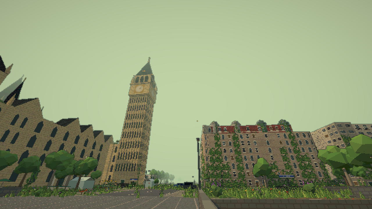
Turn OpenStreetMap into an explorable London
The creator used a pipeline to read OpenStreetMap building footprints, roads, waterways, parks and landmarks, then stream nearly 2,000 map tiles of about 200 meters each around the player through a web worker. The author says the game includes more than 82,000 real building positions, with procedurally created interiors. A wave-function-collapse system assembles building facades from shopfronts, windows, blank party walls and story-specific details, then adds ivy, damage and flowers.
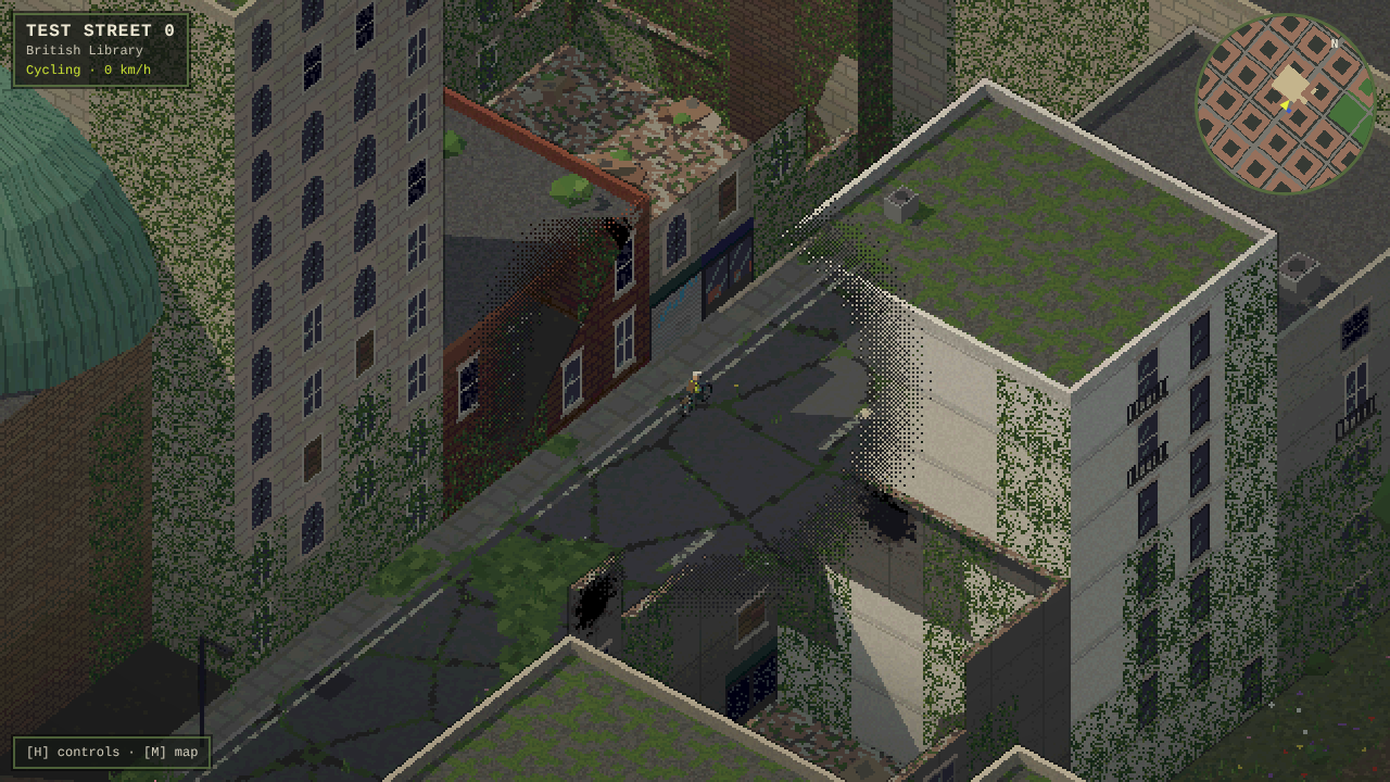
Claude wrote the systems; the creator tested the design
According to dg, Claude produced about 38,000 lines of JavaScript built on Three.js without a compilation step and around 3,700 lines of Python and Node tools. The human author specified the faction rules, story, street references and art direction, played every build and approved the changes. Buildings and props are modeled from simple geometric shapes and a pixel shader rather than a library of hand-painted sprite textures; Gemini was used for the painted logo.
The creator reports saving 62 named checkpoints before high-risk changes so failed experiments could be rolled back quickly. Claude also created a story-testing bot that checks dialogue links, quests and item states, then runs hundreds of randomized full story attempts to catch unreachable endings and softlocks. Other automated audits check whether gates, underground stations and quest locations can actually be reached, and mini-game bots confirm that a reasonable attempt wins while inactivity loses.
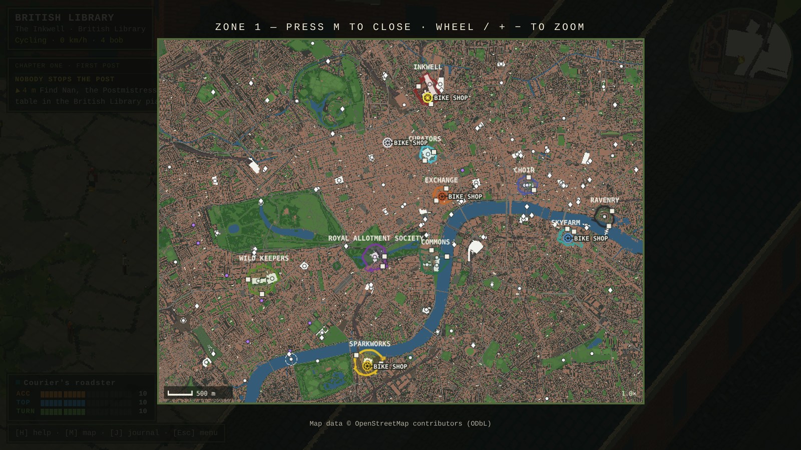
Measure empty space instead of guessing where gameplay is missing
An especially reusable idea: the developer divided the map into a 25-meter grid and measured each point's distance to the nearest activity. According to the post, 70% of the land lay more than 500 meters from a landmark, NPC or faction, so the team ranked gaps and added encounters to places such as Abbey Road and Brompton Cemetery. This is a concrete level-design method: sample the playable world, locate activity deserts, build encounters there and test the player's first five minutes.
The 100 lucky-cat collectibles were turned from a jam requirement into a mechanical reward: each grants one Luck point, which adds one percentage point to dice-roll odds. For human playtesting, the crucial fix was getting the player riding, chased and delivering within the first five minutes—a usability lesson that static code tests could not reveal.
Try the game and the method
The released HTML5 game is playable in a desktop browser with keyboard/mouse, and the creator also lists touch controls for mobile. The developer explicitly states that no AI models run during gameplay; the AI contributed to production rather than serving as a live NPC. Anyone adapting the workflow should first verify map-data licensing, try a small neighborhood, add procedural building rules, then build reachability and quest-solver checks before scaling to a whole city.
Primary references: November 18 production devlog · playable London Overgrown page · OpenStreetMap data license.